Turn Massive Satellite Datasets Into Field-Level Decisions

Agricultural and environmental decisions are only as good as the data behind them. We build AI-powered satellite imagery analytics that transform raw Earth-observation data into actionable crop intelligence for agriculture, forestry, and environmental monitoring.
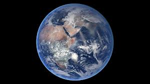
Earth from space Credit: NASA
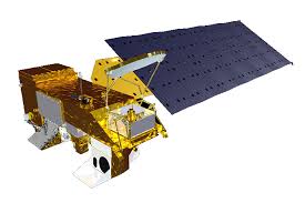
MODIS spacecraft Credit: NASA
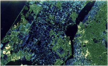
SAR satellite imagery Credit: NASA

Our Satellite Data Expertise

Intelligent Data Design, Inc. specializes in developing cutting-edge software solutions for satellite data processing and analysis. We create robust, scalable applications that transform massive datasets from Earth observation satellites into actionable insights for agriculture, forestry, and environmental monitoring.

Our AI-powered analytics platforms combine multi-spectral and radar imagery with machine-learning models to enable precision agriculture through high-resolution crop monitoring, yield prediction, and field-level decision support systems. We also apply modern Earth-observation foundation models and next-generation SAR and altimetry missions to emerging problems such as soil-moisture retrieval and contaminant detection.

Agricultural Intelligence Solutions

  • Precision Crop Monitoring - Daily high-resolution field imagery and vegetation-index analytics
  • AI-Powered Crop Intelligence - Automated vegetation health, growth-stage, and stress detection
  • Yield Prediction Models - Historical and real-time data fusion for harvest forecasting
  • Field-Level Decision Support - Irrigation, fertilization, and pest-management recommendations
  • Multi-Temporal Analysis - Season-long crop tracking with historical comparisons and change detection
  • Foundation-Model Downscaling - Fine-tuning of EO foundation models for higher-resolution crop and land-surface products

Empowering agricultural advisors and growers with leaf-level precision data for confident decision-making.

How It Works

1. Ingest

Pull multi-spectral, radar, and weather data from MODIS, Sentinel, Landsat, SWOT, NISAR, and other public and commercial sources.

2. Analyze

Apply AI/ML models and Earth-observation foundation models to detect crop health, stress, yield potential, flooding, and environmental change.

3. Act

Deliver field-level recommendations, alerts, and decision-support dashboards to growers, advisors, and operations teams.

Who We Serve

Agricultural Advisors

Crop consultants and agronomists advising large farming operations.

Commodity & Food Companies

Supply-chain and procurement teams monitoring crop area and yield.

Environmental Agencies

Teams tracking floods, water resources, pollution, and land-use change.

Research Labs

Scientists integrating satellite data with models and in-situ observations.

Satellite Imagery Applications

MODIS agricultural monitoring
Agricultural Monitoring

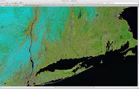
Advanced MODIS and compatible multi-spectral satellite imagery for crop health assessment, vegetation-index trending, and field-scale monitoring across large agricultural regions.

Credit: NASA
MODIS flooding analysis
Environmental Monitoring

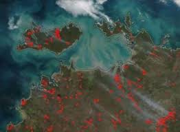
Real-time flood detection, surface-water extent mapping, and environmental impact assessment using multi-spectral satellite data analysis and change-detection workflows.

Credit: NASA
SWOT and NISAR radar imagery
Next-Generation Missions: SWOT & NISAR

Applying TerraMind, IBM/ESA's open any-to-any generative foundation model for Earth Observation, to new SWOT (surface water) and NISAR (L-band SAR) satellite platforms for soil-moisture estimation, hydrology, and other emerging Earth-observation products.

Credit: NASA
Pollution monitoring from space
Pollution Monitoring

Satellite-imagery analytics for environmental contaminant detection, including exploratory work on spectral fingerprinting of PFAS and other pollutants using multi-spectral, hyperspectral, and SAR data fused with hydrologic context.

Credit: NASA