Satellite Data Software Solutions
Colorado's premier developer of AI-powered satellite imagery analytics for precision agriculture and crop intelligence.
 Credit: NASA
 Credit: NASA
 Credit: NASA
Colorado's premier developer of AI-powered satellite imagery analytics for precision agriculture and crop intelligence.
Credit: NASA
Credit: NASA
Credit: NASA
Intelligent Data Design, Inc. specializes in developing cutting-edge software solutions for satellite data processing and analysis. We create robust, scalable applications that transform massive datasets from Earth observation satellites into actionable insights for agriculture, forestry, and environmental monitoring. Our AI-powered analytics platforms enable precision agriculture through high-resolution crop monitoring, yield prediction, and field-level decision support systems.
Empowering agricultural advisors and growers with leaf-level precision data for confident decision-making.
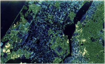
Advanced MODIS satellite imagery for crop health assessment and vegetation monitoring across large agricultural regions.
Credit: NASA
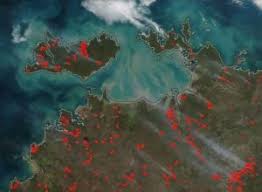
Real-time flood detection and environmental impact assessment using multi-spectral satellite data analysis.
Credit: NASA